
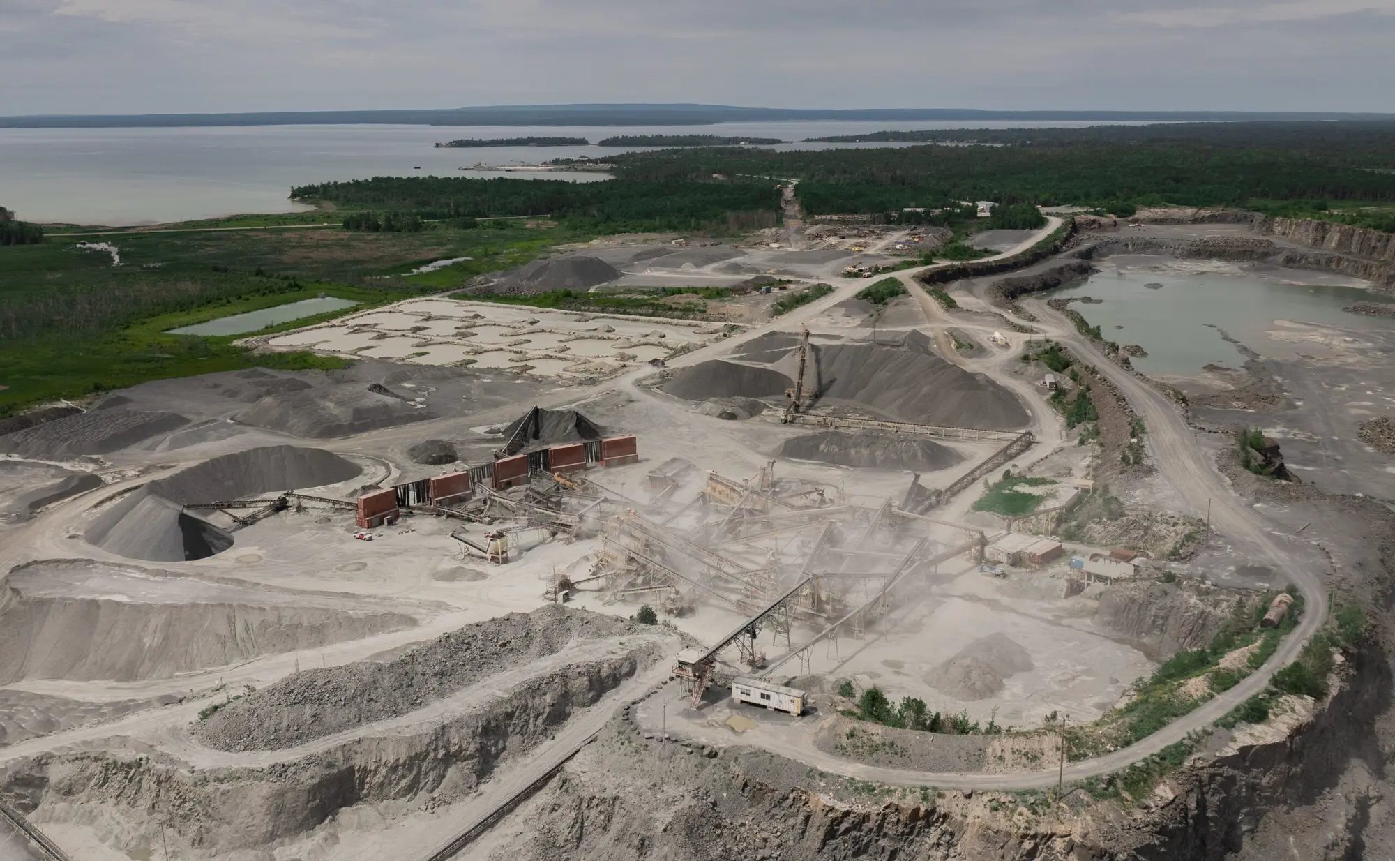
East Oxford Pit
A proposed sand and gravel pit at 1486 O’Neill Road in North Grenville, supplying the aggregate that builds the region’s roads, schools, hospitals and homes.
Project Overview
Responsible Aggregate Supply for a Growing Region
Tomlinson is proposing a new sand and gravel pit, the East Oxford Pit, on lands identified by the Province and the Municipality of North Grenville as containing high-quality aggregate resources. Existing pits already operate nearby.
The material is suited to road building and to asphalt and concrete production. Extraction would happen in five phases, with each phase rehabilitated as it is completed, while the remaining land continues to be farmed.
- 44.1ha
- Proposed licence area (109 acres)
- 5
- Extraction phases, each rehabilitated in turn
- 1M
- Maximum tonnes a year, set by market demand
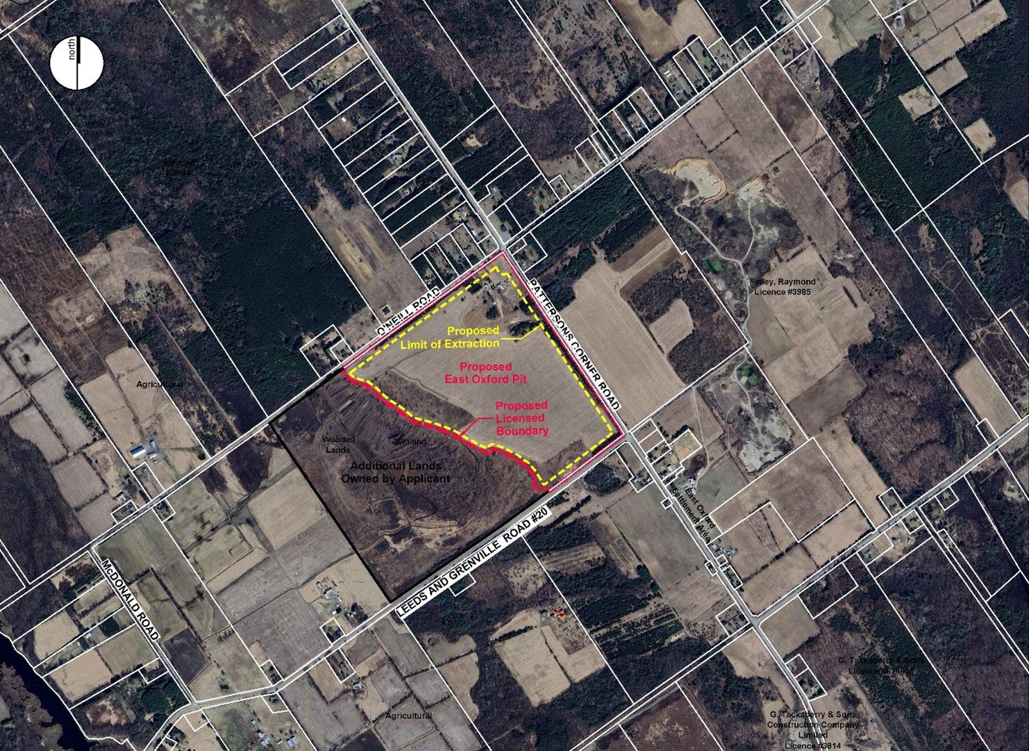
The Site
About the Location
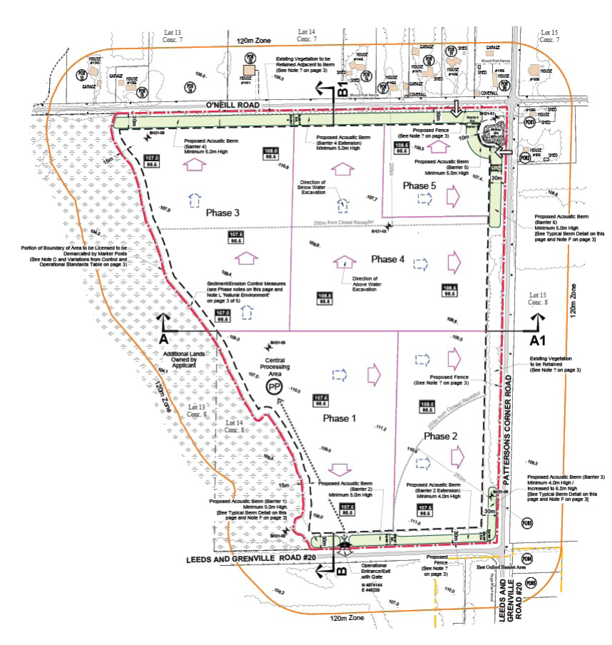
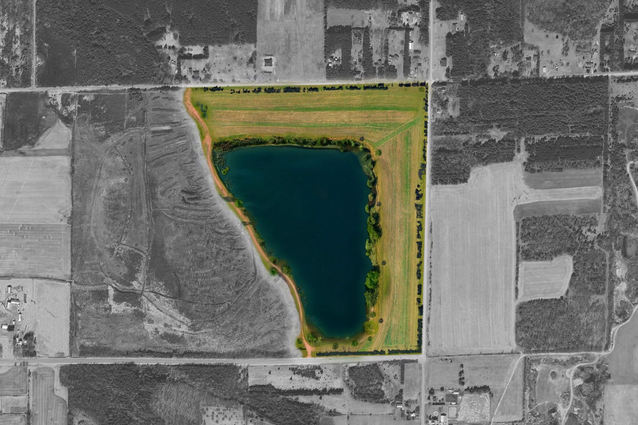
The site is at 1486 O’Neill Road, bordered by County Road 20, Pattersons Corners Road and O’Neill Road. North Grenville’s Official Plan, Zoning By-law and Provincial geological mapping all identify it as containing provincially significant aggregate resources.
The existing wetland on the property is not part of the licensed area, and setbacks will protect it throughout operations.
Project Status
Where the Project Stands
Licensing projects take months to years. Each milestone is updated here as it happens. Last updated [DATE].
Project Status
Where the Project Stands
Licensing projects take months to years. Each milestone is updated here as it happens. Last updated [DATE].
How It Works
How a Sand & Gravel Pit Works
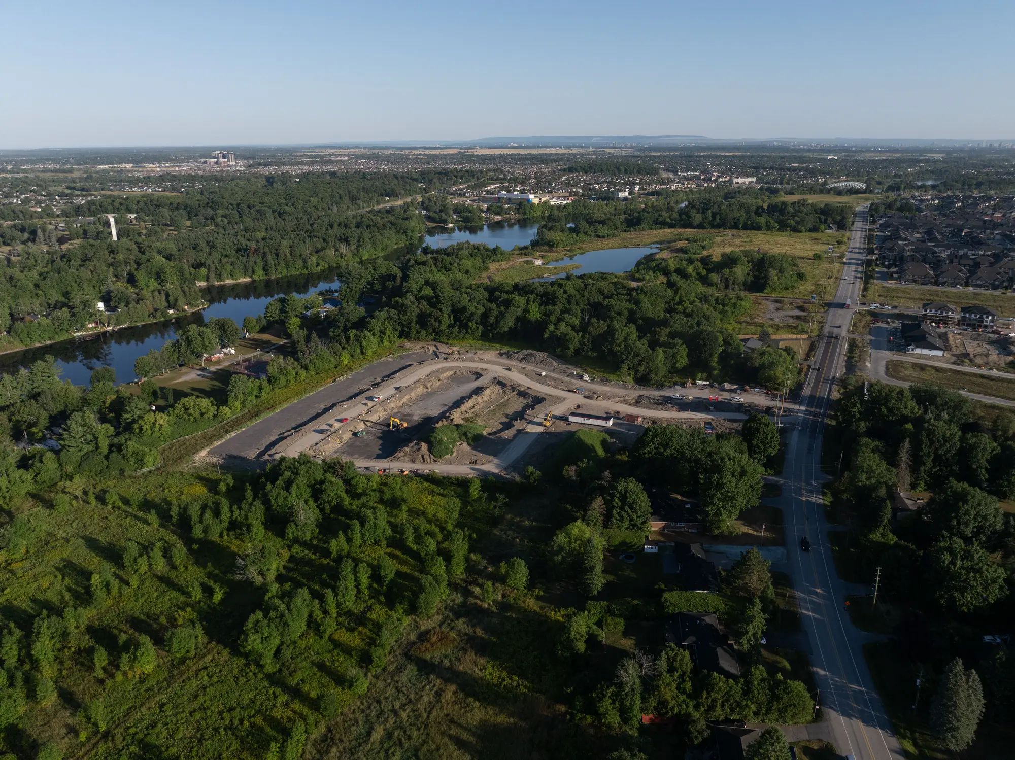
A pit is a temporary operation. It follows a controlled sequence that keeps production efficient while protecting neighbours and the environment. Images show other Tomlinson operations.
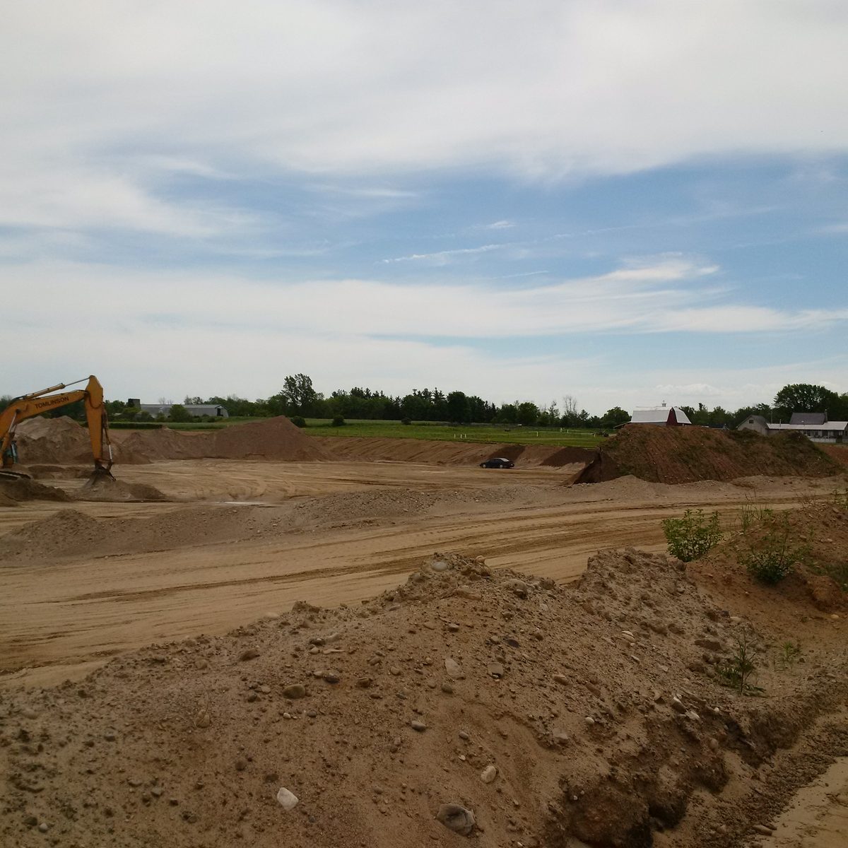
Site Preparation
Vegetation and topsoil are removed and stored for rehabilitation. Berms and setbacks go in first to limit noise, dust and visual impact.
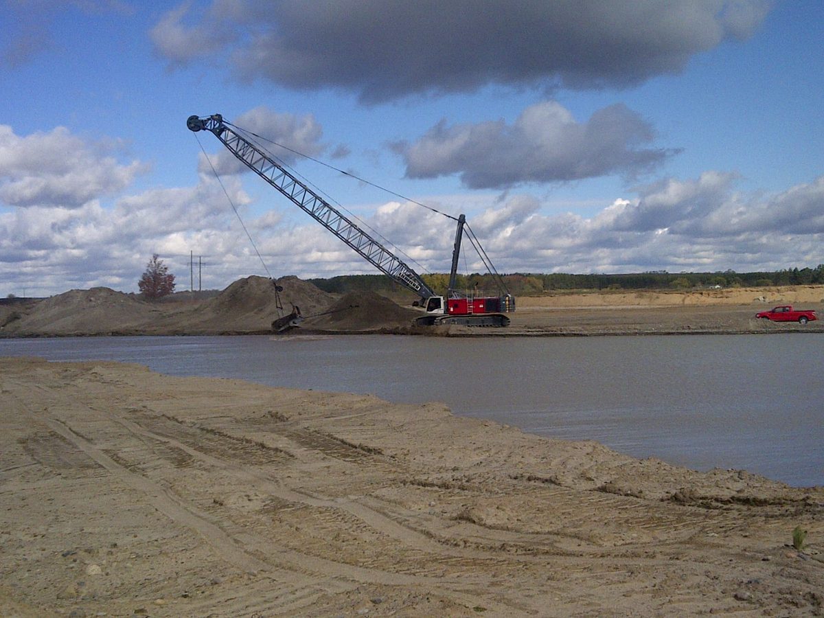
Extraction
Excavators, loaders and dredges remove sand and gravel. Below the water table, material is lifted out without pumping water off site.
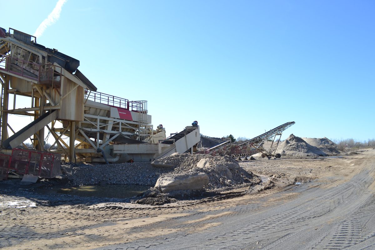
Processing
Material is sorted, washed and sized for uses such as concrete and asphalt production.
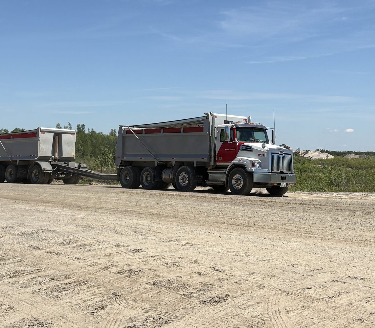
Transportation
Aggregate leaves on designated haul routes, with truck traffic managed for safety.
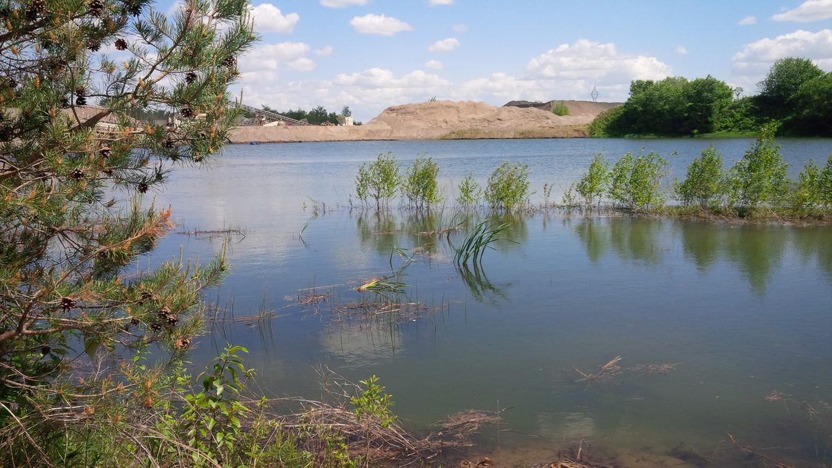
Progressive Rehabilitation
As each phase finishes, the land is graded and planted, and natural features such as wetlands and ponds are created.
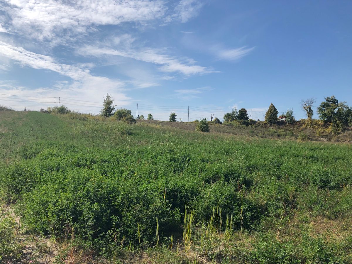
Final Land Use
Once extraction ends, the site becomes a naturalized landscape of ponds, meadows and ecological features suited to its surroundings.
The Proposal
How the Pit Would Operate
Licence
A Class A licence under the Aggregate Resources Act, for a pit below the water table.
Phasing
Five successive extraction phases. Land not being extracted remains in agricultural use.
Water
Extraction above and below the water table to roughly 8–13 metres, with no dewatering and no water pumped off site. Groundwater and surface water are monitored every year.
Volume
Up to 1,000,000 tonnes a year, based on market demand.
Truck access
A new entrance on County Road 20, an existing truck route, heading east toward Highway 416. No truck access from O’Neill Road or Pattersons Corners Road. At peak production, up to 26 trips an hour (13 in, 13 out), not expected every day.
Hours
Typically daytime. Limited overnight work for projects such as highway jobs requires a Ministry of Environment permit and is equipment-restricted between 7 p.m. and 7 a.m.
Blasting
None planned.
Rehabilitation
Aggregate Extraction Is a Temporary Land Use
Rehabilitation happens phase by phase over the life of the pit, as the Aggregate Resources Act requires. When extraction is complete, the site becomes:
- 18.1 ha of naturalized pond
- 17.0 ha of cultural meadow along O’Neill Road and Pattersons Corners Road, with potential for future residential development
- 1.6 ha of sloped areas and 0.6 ha of shoreline around the pond
- 0.1 ha of new wetland in the northwest corner
Technical Studies
Studies & Documents
Independent consultants completed a study for each topic below as part of the application. Each has a plain-language summary and the full reports to download. The open house display boards are here too.
Frequently Asked Questions
Answers to the questions neighbours ask most often. Don’t see yours? Ask the project team.
Public Consultation
Have Your Say
Applications for Official Plan and Zoning By-law amendments and an Aggregate Resources Act licence were submitted in spring 2026. Neighbours are kept informed through mailed notices, newspaper notices, site signage, open houses and council meetings.
Next public meeting: [DATE, TIME AND LOCATION]
Questions About the Application?
Craig Bellinger, Project Contact
Tomlinson Group Head Office
100 Citigate Drive, Ottawa, ON K2J 6K7
Tel: 613-690-3044Who Decides
The Ministry of Natural Resources decides the licence. The Municipality of North Grenville decides the planning amendments.